English

PRESENTATION

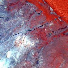
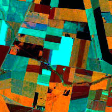
Nowadays, Remote Sensing and Geographic Information Systems (GIS) techniques are absolutely essential in order
to study the Earth and manage its resources. This key activity takes place in many fields like the innovation on remote
sensing instrumental, the growing on the Internet of free sources to geographic information,the consolidation of new metadata
standards and the cataloguing in Spatial Data Infrastructures or in the software developement, as the current free availability
of MiraMon software for administrations and students promoted by the Generalitat de Catalunya and different kinds of free software.
It is evident, therefore, the need for well-trained professionals in these disciplines.
The aim of this Master, simultaneously taught both in classroom-based modality and in streaming, is to provide sound scientific training in techniques for observing the Earth and for generating and analyzing
information in order to be able to study a given territory and manage its resources using GIS. The Master has a scientific and technical
orientation and focuses on the acquisition of an in-depth knowledge of the content of the course and establishing a sound base from which
the student can continue his or her studies.To achieve this, the Master will provide the student with knowledge, tools and experiences that
facilitate the development of professional skills necessary for employment in the current context and the development of his scientific
career through a PhD program.
The Scientific Director and an important part of the faculty members are part of the Copernicus Academy international network. The main goal of this network is to link academic and research institutions with the Copernicus authorities and service providers, in order to increase collaborative research and to promote the training of the next generation of researchers, scientists and entrepreneurs.
The program is divided into 7 modules: 4 modules of mandatory subjects and 2 modules of elective advanced subjects. In addittion, the
Master course is complemented by practical sessions with a tutor and a Final Project as the last mandatory module of the program.
THE MASTER IN REMOTE SENSING AND GIS IS DESIGNED FOR:
Graduates with honour's and general degrees who are interested in the principles and applications of Remote Sensing and GIS
(geographers, biologists, environmental scientists, physicists, geologists, geodesists and engineers from different disciplines, topographers, etc).
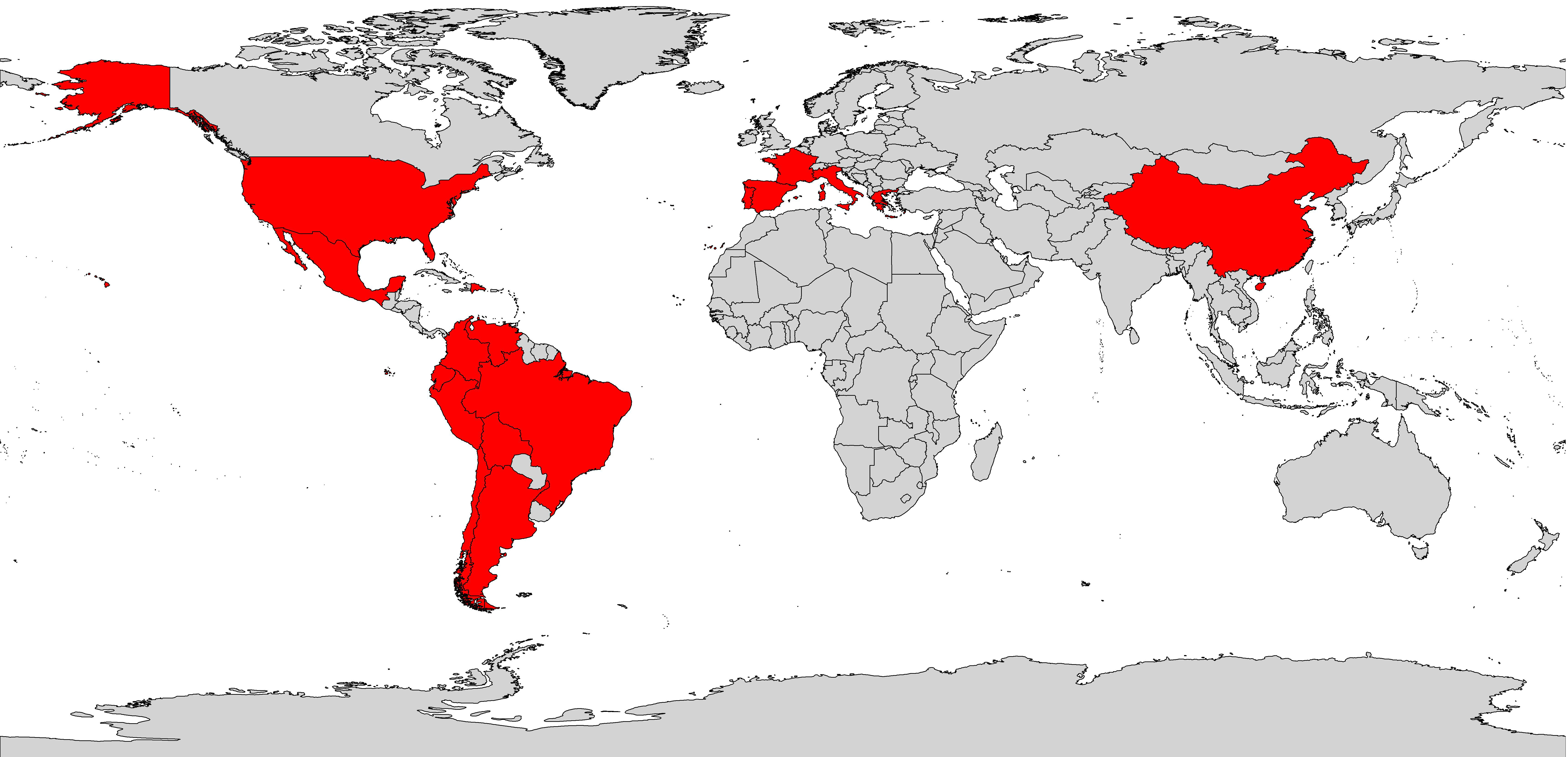
22 EDITIONS
Since the 8th edition (UAB) have passed more than 200 students of different disciplines and 16 nationalities (Spain, France, Greece, Portugal, Italy, United States, Argentina, Chile, Colombia, Bolivia, Mexico, Ecuador, Peru, Dominican Republic, China and Venezuela).
Duration:
60 ECTS
Implementation dates:
04/10/2021 - 25/05/2022
Schedule:
Monday-Thursday:16:30 - 20:30h
Friday: 15-19h
Price:
EU students: € 79 per credit.
Non-EU students: € 99 per credit. This includes taxes and student insurance.
Best students’ award: upon completion of the Master, students with better marks will receive a prize of 1500 €. A prize will be awarded for every five students.
Admission Cost (30.21€)
Contact master.td.sig@uab.cat