Land Cover Map of Catalonia 
Raster format (images), 3rd edition version 2 (2005-2007)
 

Attention: We strongly recommend updating MiraMon Map Reader if your version has been installed before june 2000


Land Cover Map 3rd edition version 2 is a review of 3rd edition version 1. Changes have been done in order to adapt MCSC 3rd edition to fit new categories on 4th and to correct detected errors.

To download data

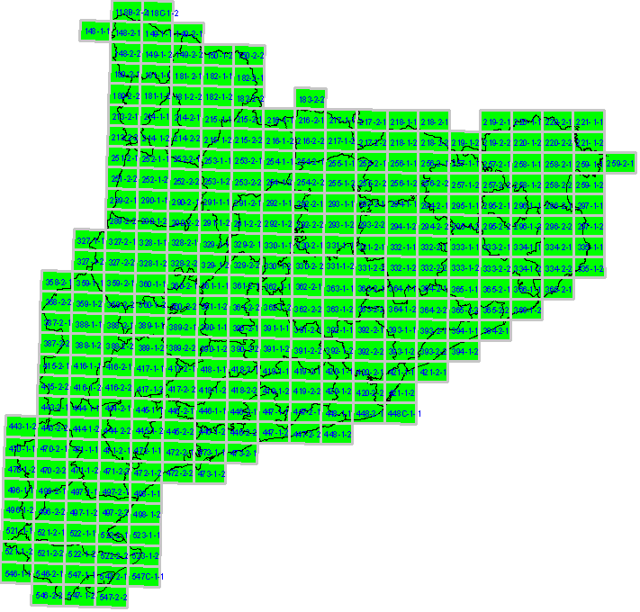
Click on the Map below, in the area of the map you want to download; you can also donwload and save files into your computer by clicking the right mouse button (files size is between 300KB and 1.8000KB)

ATTENTION: Colour Orthoimages 1:5000 for the period 2005-2007 provided by ICC (Institut Cartográfic de Catalunya ) have been used as base material for Land Cover Map 3rd edition.  In some cases, however, some polygons of certain sheets have been adjusted to fit 2005 SPOT-5 images due to specific requirements for SIOSE project  (Land Cover and Use Information System of Spain) in Catalonia.

 Land Cover Map homepage


Download MCSC data:

Vectors 1rst edition (polygons)

Vectors 2nd edition (polygons)

Vectors 3rd edition version 1 (polygons)

Vectors 3rd edition version 2 (polygons)
Vectors 4th edition (polygons)


Rasters 1rst edition (images)

Rasters 2nd edition (images)

Rasters 3rd edition version 1 (images)

Rasters 4th edition (images)
118B-2-2 118C-1-2 148-1-1 148-2-1 149-1-1 149-2-1 148-2-2 149-1-2 149-2-2 150-1-2 150-2-2 180-2-1 181-1-1 181-2-1 182-1-1 182-2-1 180-2-2 181-1-2 181-2-2 182-1-2 182-2-2 183-2-2 213-2-1 214-1-1 214-2-1 215-1-1 215-2-1 216-1-1 216-2-1 217-1-1 217-2-1 218-1-1 218-2-1 219-2-1 221-1-1 220-1-1 220-2-1 213-2-2 214-1-2 214-2-2 215-1-2 215-2-2 216-1-2 216-2-2 217-1-2 217-2-2 218-1-2 218-2-2 219-1-2 219-2-2 221-1-2 220-1-2 220-2-2 251-2-1 252-1-1 252-2-1 253-1-1 253-2-1 254-1-1 254-2-1 255-1-1 255-2-1 256-1-1 256-2-1 257-1-1 259-2-1 257-2-1 259-1-1 258-1-1 258-2-1 251-2-2 252-1-2 252-2-2 253-1-2 253-2-2 254-1-2 254-2-2 255-1-2 255-2-2 256-1-2 256-2-2 257-1-2 257-2-2 259-1-2 258-1-2 258-2-2 289-2-1 290-1-1 290-2-1 291-1-1 291-2-1 292-1-1 292-2-1 293-1-1 293-2-1 294-1-1 294-2-1 295-1-1 295-2-1 297-1-1 296-1-1 296-2-1 289-2-2 290-1-2 290-2-2 291-1-2 291-2-2 292-1-2 292-2-2 293-1-2 293-2-2 294-1-2 294-2-2 295-1-2 295-2-2 297-1-2 296-1-2 296-2-2 327-1-1 327-2-1 328-1-1 328-2-1 329-1-1 329-2-1 330-1-1 330-2-1 331-1-1 331-2-1 332-1-1 332-2-1 333-1-1 333-2-1 335-1-1 334-1-1 334-2-1 327-1-2 327-2-2 328-1-2 328-2-2 329-1-2 329-2-2 330-1-2 330-2-2 331-1-2 331-2-2 332-1-2 332-2-2 333-1-2 333-2-2 335-1-2 334-1-2 334-2-2 358-2-1 359-1-1 359-2-1 360-1-1 360-2-1 361-1-1 361-2-1 362-1-1 362-2-1 363-1-1 363-2-1 364-1-1 364-2-1 365-1-1 365-2-1 366-1-1 366-2-1 358-2-2 359-1-2 359-2-2 360-1-2 360-2-2 361-1-2 361-2-2 362-1-2 362-2-2 363-1-2 363-2-2 364-1-2 364-2-2 365-1-2 365-2-2 366-1-2 387-2-1 388-1-1 388-2-1 389-1-1 389-2-1 390-1-1 390-2-1 391-1-1 391-2-1 392-1-1 392-2-1 393-1-1 393-2-1 394-1-1 394-2-1 387-2-2 388-1-2 388-2-2 389-1-2 389-2-2 390-1-2 390-2-2 391-1-2 391-2-2 392-1-2 392-2-2 393-1-2 393-2-2 394-1-2 415-2-1 416-1-1 416-2-1 417-1-1 417-2-1 418-1-1 418-2-1 419-1-1 419-2-1 420-1-1 420-2-1 421-1-1 421-2-1 415-2-2 416-1-2 416-2-2 417-1-2 417-2-2 418-1-2 418-2-2 419-1-2 419-2-2 420-1-2 420-2-2 421-1-2 443-2-1 444-1-1 444-2-1 445-1-1 445-2-1 446-1-1 446-2-1 447-1-1 447-2-1 448-1-1 448-2-1 448C-1-1 443-1-2 443-2-2 444-1-2 444-2-2 445-1-2 445-2-2 446-1-2 446-2-2 447-1-2 447-2-2 448-1-2 470-1-1 470-2-1 471-1-1 471-2-1 472-1-1 472-2-1 473-1-1 473-2-1 470-1-2 470-2-2 471-1-2 471-2-2 472-1-2 472-2-2 473-1-2 496-1-1 496-2-1 497-1-1 497-2-1 498-1-1 496-1-2 496-2-2 497-1-2 497-2-2 498-1-2 521-1-1 521-2-1 522-1-1 522-2-1 523-1-1 521-1-2 521-2-2 522-1-2 522-2-2 523-1-2 546-1-1 546-2-1 547-1-1 547-2-1 547C-1-1 546-2-2 547-1-2 547-2-2
Map Reader
 
  Reference
Cartography


Departament d'Agricultura, Ramaderia, Pesca, Alimentació i Medi Natural Departament d'Interior Departament de Territori i Sostenibilitat
Bases disponibles Inici SIG